(More) Screenshots from MODCHEIAS
In the developed software Map Objects is used to read, in a spatial distributed way, the input data
(shapefiles) and also to provide the spatial representation of the information. It is also used during the simulations,
to overlay different types of information for calculus.
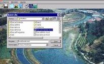
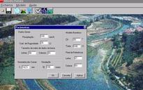
Form for opening the input data (on the left) and form to choose the parameters
for the simulation (on the right).
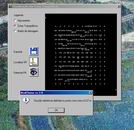
Display of the terrain elevation values (on the left) and form to run the model, with confirmation of the chosen parameters
(on the right).
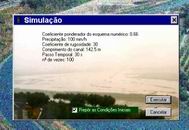
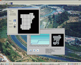
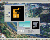
Screenshots of a run of the model, showing the simulation form (with the hydrograph and a map with distributed water stages)
and forms with the display of the input data.
Go back to the main page