 |
 |
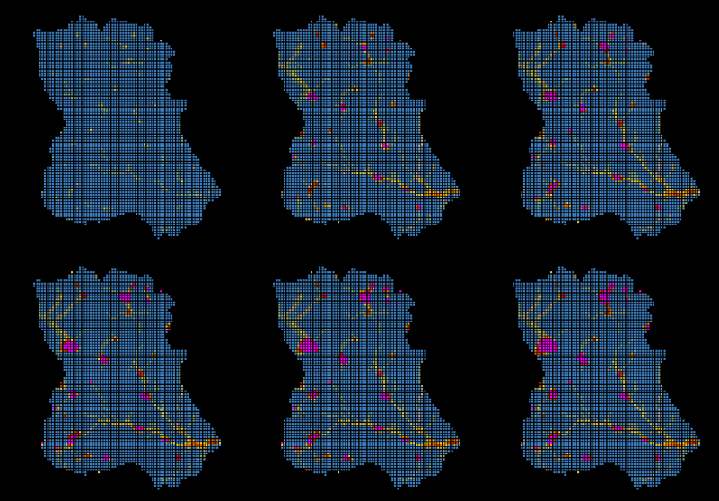
On the runs for Loures River Watershed, it was considered that the watershed was initially dry. It was adopted an uniform rainfall of 100 mm/h and the time step was limited to 1s, which turned the simulations to last several hours. This severe restriction in the time step, as to do with the topography complications such as horizontal regions and pit points that lead to variations on the flow directions and originate some perturbations on the solution.
This problem is obviously related to the fact that the model uses real topography, in all its complexity.
 |
 |
Since the beginning of the run till the end of the simulation, it is possible to see how the flow is established, first concentrating on pit points and then flooding the areas around till the watershed is all connected by channels, choosen by the flow according to the terrain topography.
It is interesting to observe, the early born of a channel near the reference section, that grows till
on the limit, connect all the pit points of the basin.
Caracterization of Loures River watershed
Go back to the main page